
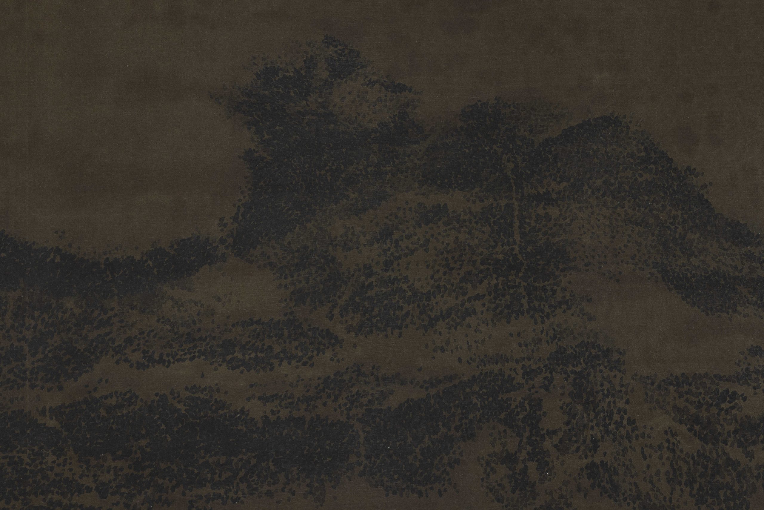
Scroll of Night Rain on the Xiaoxiang Rivers
2025
ink on silk
53 (H)*834.5cm | image 52.2*226.6cm

This Google Earth satellite image shows a region near 39.2° N, 90.8° E, along the northern foothills of the Altun Mountains at the southwestern edge of Lop Nur in Xinjiang, China. The landscape is characterized by vast wind-blown sand dunes and red sandstone outcrops to the west, a mountain-front fault zone with dense alluvial fans in the center, and bright white salt flats and dry lakebeds to the east—remnants of an ancient lacustrine environment.
Situated between the eastern Tarim Basin and the northern edge of the Tibetan Plateau, this arid desert-gobi transition zone holds significant geological and ecological value. Culturally, it was once part of the southern Silk Road sphere, near the ancient kingdom of Loulan, leaving enduring traces of oasis civilization amid today's stark wilderness.
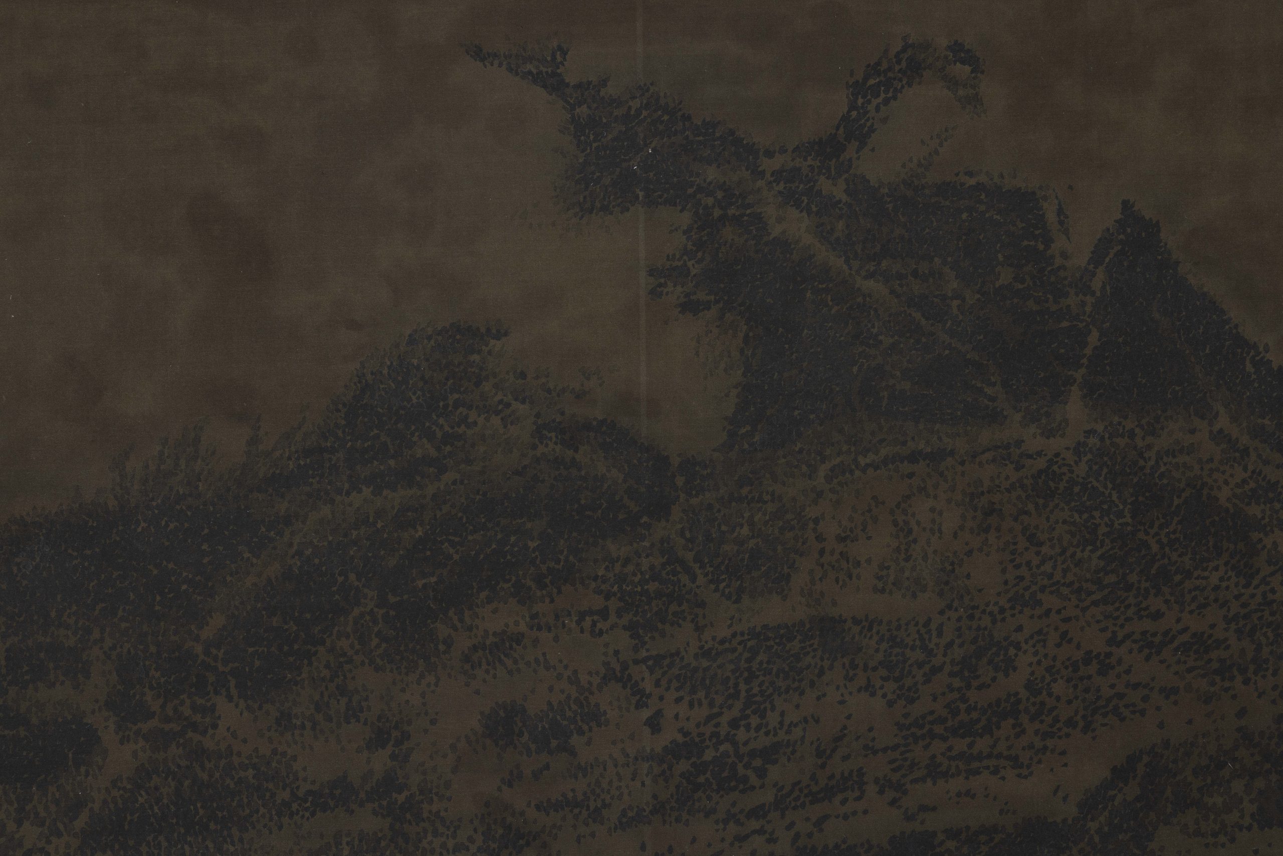
Scroll of Night Rain on the Xiaoxiang Rivers
2025
ink on silk
53 (H)*834.5cm | image 52.2*226.6cm


-正面-500x500.jpg "Communication(squeeze, stretch, grow)")
150-x-104-x-13-cm-500x500.jpg "Communication (Bright, Cunning, Radiant)")
-150-x-170-x-13-cm--500x500.jpg "Communication (Playful, Juicy, Congealed)")


