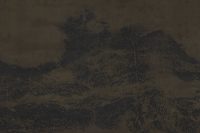
Scroll of Winding Mountain Peaks
2025
ink on silk
52 (H)*861.7cm | image 51*258.4cm

This Google Maps satellite image shows a region near 38.55° N, 87.05° E, along the northern foothills of the Kunlun Mountains between Qiemo and Ruoqiang in Bayingolin Prefecture, Xinjiang. The landscape displays typical arid piedmont geomorphology, with east-west-trending ridges and folded valleys, and extensive alluvial fans incised by braided drainage patterns. Alternating dark metamorphic rocks and oxidized red sandstones create a striking palette. On the right side of the image lies a patch of irrigated farmland, with circular pivot fields sustained by groundwater and mountain runoff.
Culturally, this area lies on the southern margin of the Tarim Basin, historically part of the southern route of the Silk Road. Snowmelt from the Kunlun Mountains has long nourished scattered foothill oases, enabling agriculture and settlement amid desert and gravel plains. Since ancient times, these piedmont oases have supported farming and herding while serving as vital nodes of cultural and commercial exchange, bearing the distinctive imprint of the Tarim's southern rim's diverse civilizations.
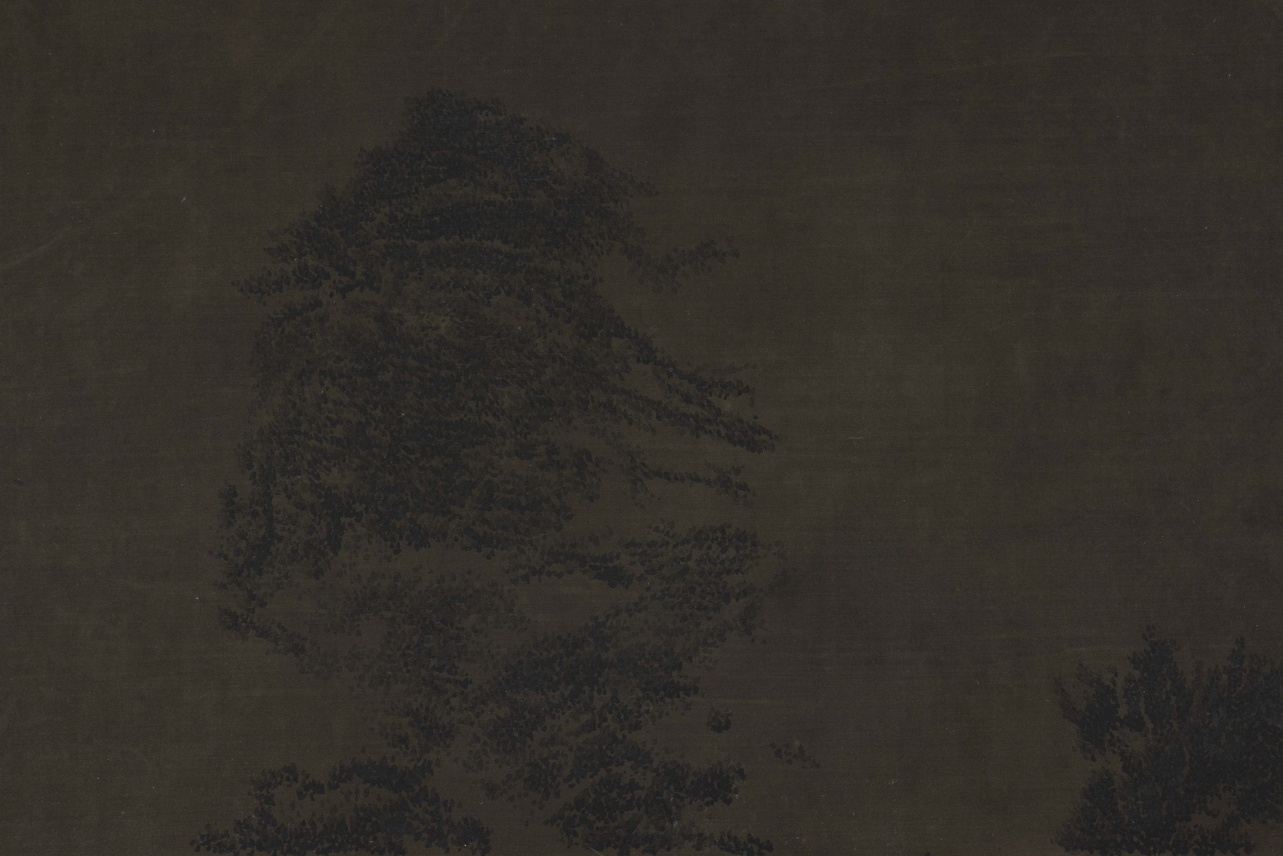
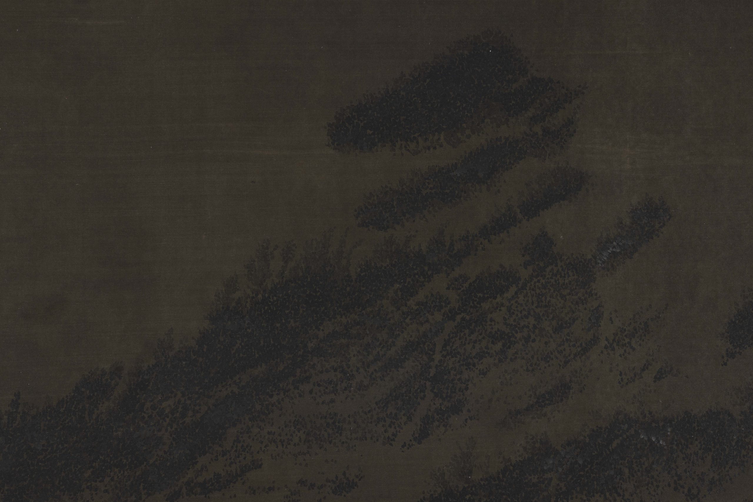
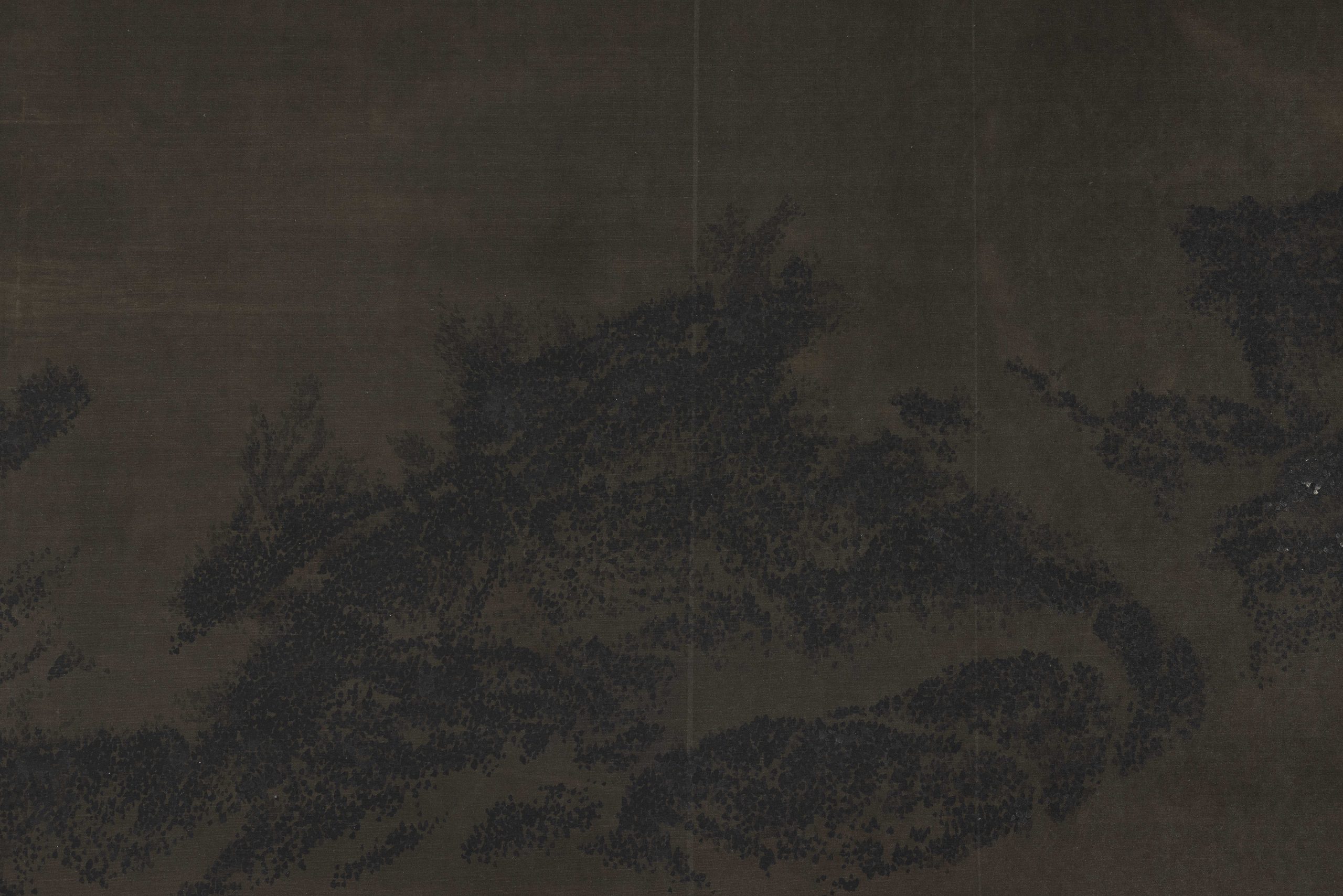
Scroll of Winding Mountain Peaks
2025
ink on silk
52 (H)*861.7cm | image 51*258.4cm


")
")


